OSSMAP has a large production capacity, allowing it to run in 3 shifts or 24/7.
Our systems and staff can quickly be prepared to execute any mapping projects following any map standard, from any part of the world, regardless of project size.
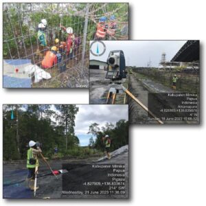
Measuring the position of an object on the earth's surface. Collect data by conducting a field survey to obtain points in the form of X, Y and Z coordinates which will later form contours and other topographic data.
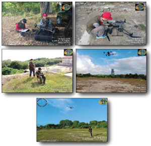
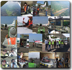
Methods for collecting geomatic data or other imagery using airplanes, helicopters, UAVs, satellites, balloons or other aerial methods.
Is the process of measuring and mapping physical features under and around waters. The main goal is to collect accurate data about seabed topography, water depth, tides, currents and other physical parameters.
- Geodetic Survey
Surveys to determine positions with high accuracy such as ground control point surveys.
- Field Verification Survey
Conduct field surveys to verify and complete spatial information.
- Cadastral Survey
Survey for land ownership boundaries.
- Engineering Survey
Surveys for Geotechnical, Civil Engineering, Mining work needs.
- Aerial Survey
Survey using aircraft (manned and unmanned).
- Topographic Survey
Data collection surveys on contour, elevation and natural and artificial features on the land surface.
- Bathymetric Survey
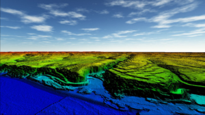
Survey measurements and topographic mapping of seabeds, lakes, rivers or other bodies of water.


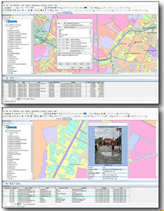
OSSMAP has the ability to build GIS that displays geospatial information, specific implementation according to needs and as an analysis tool for policy/decision makers, including: PBB, DTM model analysis for anticipating drainage and flood systems, disaster mitigation, urban planning and development, transportation and logistics, data visualization, spatial analysis, data integration, security and defense and others.
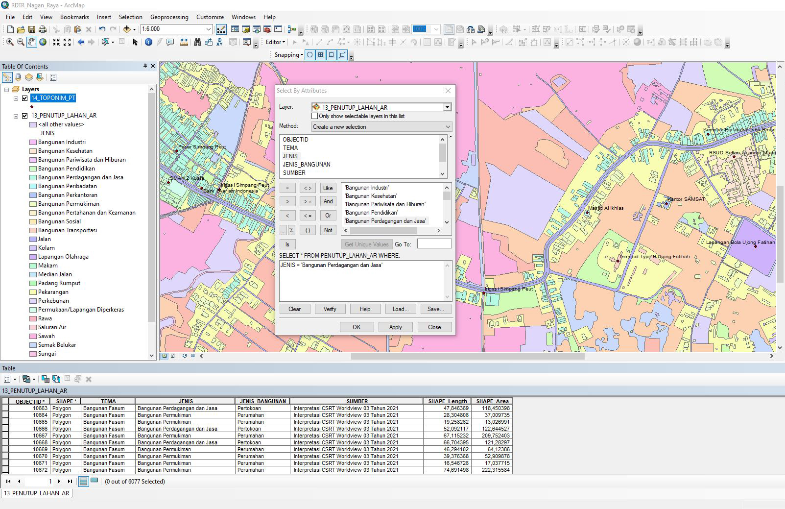 GIS - Feature Class
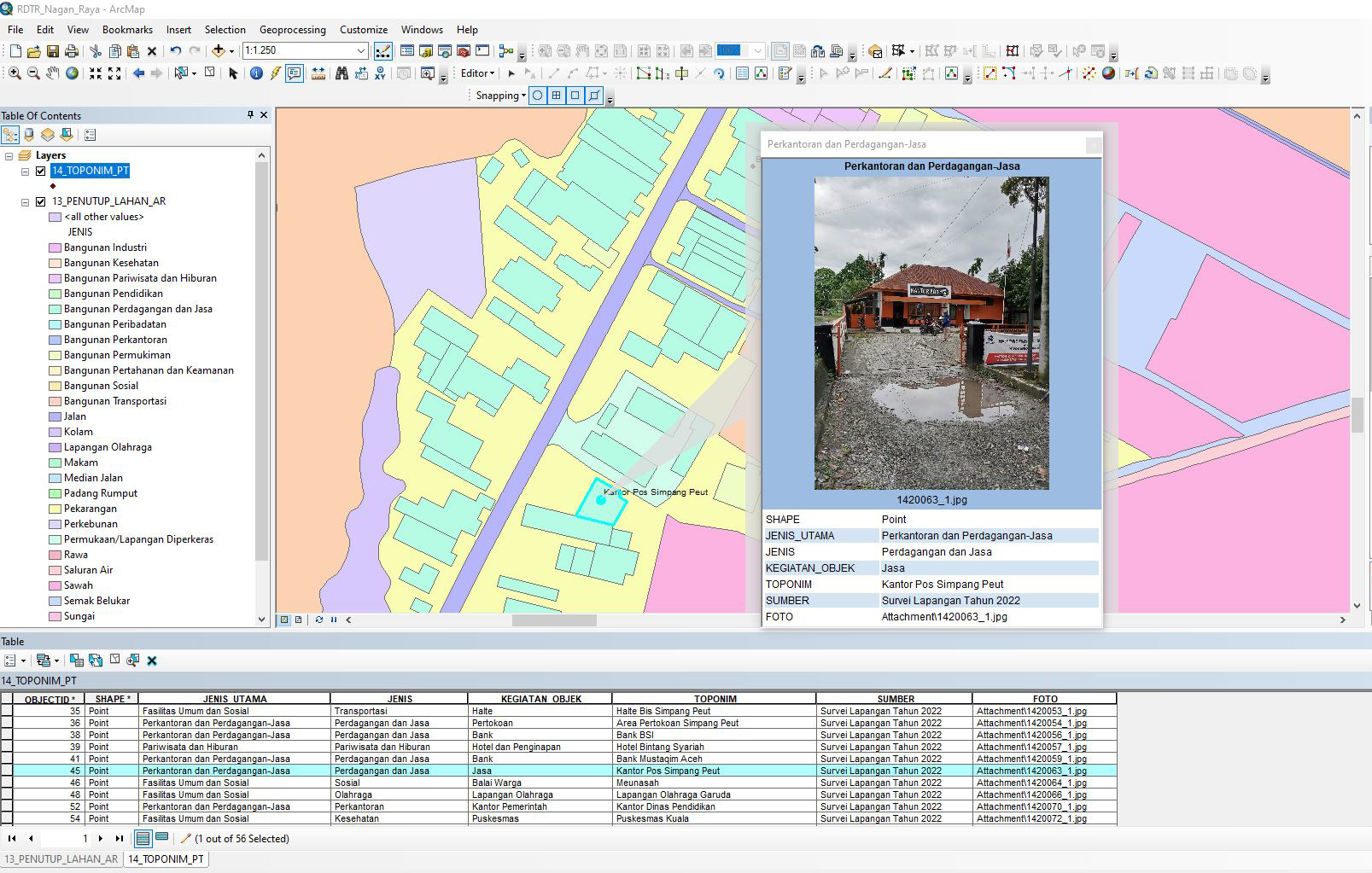 GIS - Toponymic Data
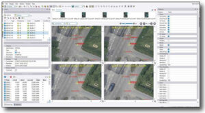
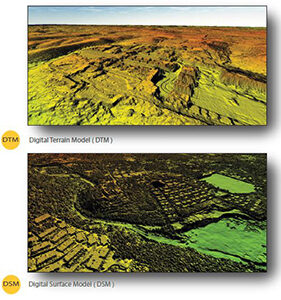
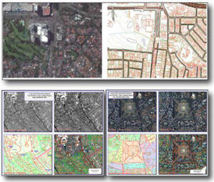
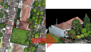
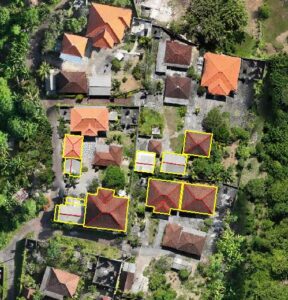
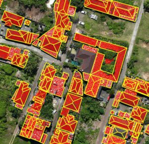
Carrying out mapping using aerial photos which are processed through aerial triangulation then produces a digital stereo model for making 3-dimensional line maps, digital terrain models (DTM) and orthophotos.
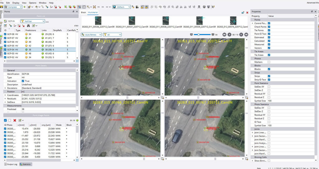
- Aerial Triangulation
Using Aerial Triangulation software and involving GPS/INS data.
- Digital Elevation model (DEM)
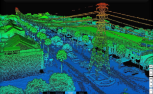
DEM can be generated from stereo models or LiDAR data processing.
- Orthophoto
Orthophotos were processed using uSMART and OrthoVista software to adjust the radiometric image and produce a seamless mosaic.
- 3 Dimensional Map (3D)
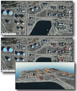
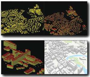
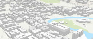
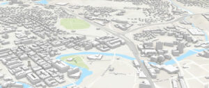
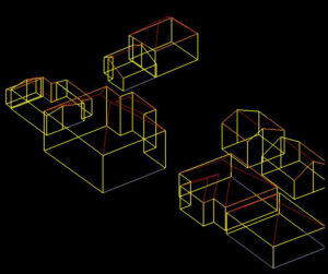
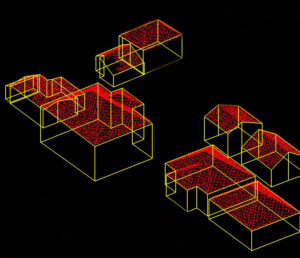
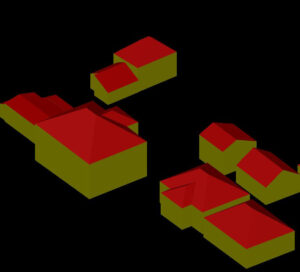
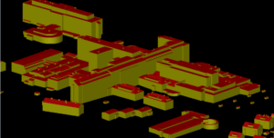
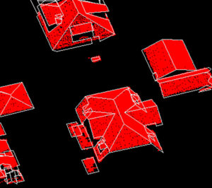
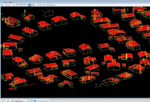
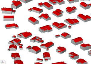
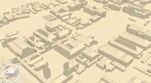
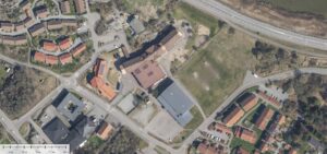
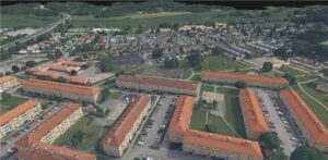
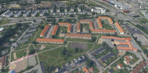
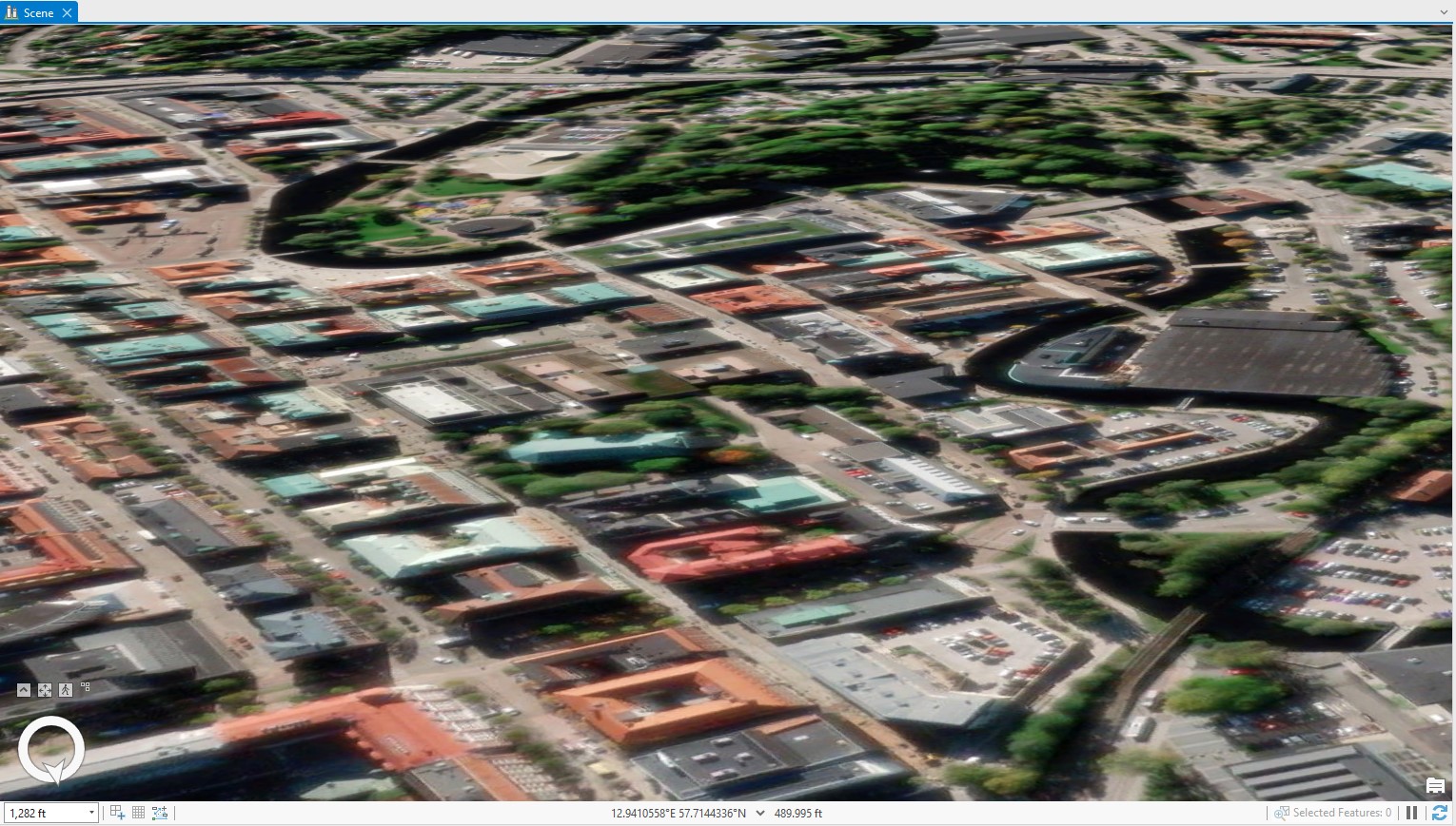
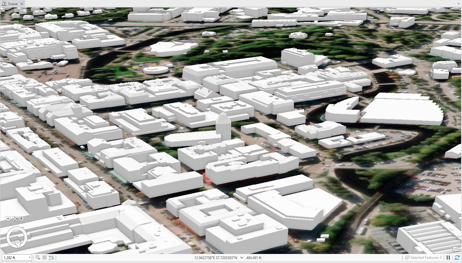
The 3-dimensional line map is produced from a stereo model formed from aerial triangulation results. Line maps produced by OSSMAP vary in scale from medium to large scale, as well as variations in standards and themes. Examples of Danish standard FOT, Finnish standard Road model, Swedish standard 3D Building model.
- Cartographic Editing
All data captured photogrammetrically always goes through a cartographic editing process to ensure the data is free from error, homogeneous and meets established mapping and accuracy standards.
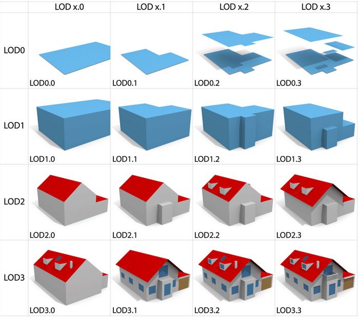
Level of Detail (LOD)
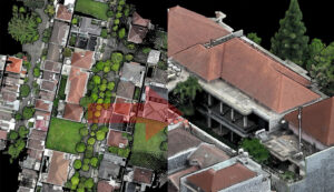
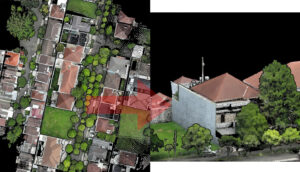
Level of Detail (LOD) is a reference used to determine or represent the level of accuracy or level of clarity of a 3D modeling object which has different grades or levels. The application of LOD to a modeling process depends on the needs of the model to be achieved. The need for a more detailed level of accuracy is obtained by applying a higher LOD level in a building model. A higher LOD level will produce a more precise shape and representation of a room model.
- 3 Dimensional Model (3D Models)
A three-dimensional (3D) model can be interpreted as an object in a Cartesian coordinate system on the X axis, Y axis and also the Z axis. A 3D model can also be interpreted as a form of representation of a real object on the earth's surface which is represented in another system. The 3D modeling process can be linked to the position of the object on the earth's surface or is often referred to as georeferencing. This process aims to ensure that the 3D model formed is in the same position and tied to a coordinate system.
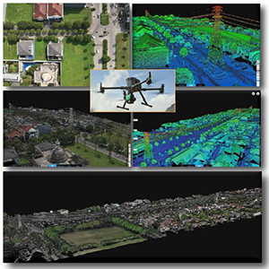
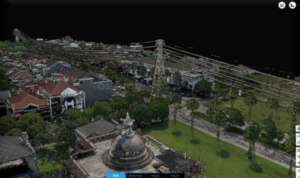
Making 3D models using photogrammetry or LiDAR methods.
> LARGE VOLUME (BIG) DATA PROCESSING

The process of collecting, storing, processing and using data is very important. OSSMAP has proven and effective Data Management.
Data Management helps companies use data more effectively, so that the data they have can be processed and used.
Processing large volumes of data requires companies to have hardware and software that is tailored to the needs of a job.
The goal of Data Management is to help companies make better and more effective business decisions.
> EDUCATION AND TRAINING
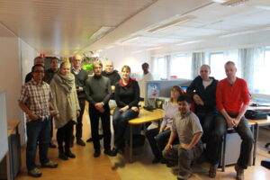
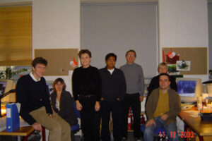
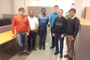
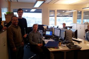
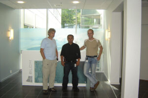
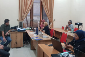
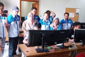
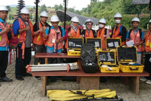
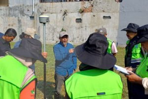
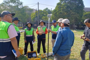
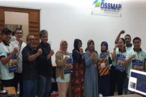
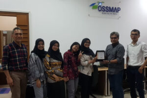
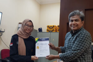
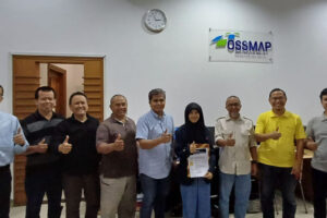
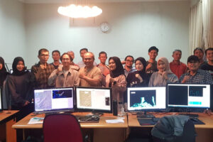
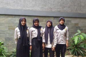
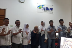
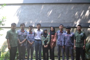
Education and training is a teaching and learning process using certain techniques and methods, in order to improve a person's work skills and abilities.
Training for employees continues to be carried out more specifically, focusing on improving certain skills needed to carry out tasks or work more effectively.
More specific training is also carried out for teachers, teaching staff, students, vocational school students or individuals in supporting the world of education.
CONTACT
PT OMNI SPASIAL STRATEGIS (OSSMAP)
Jl. Batununggal Indah V No. 38, Bandung - 40267 - West Java - Indonesia.
Phone. +62 22 875 02012
Email. info [at] ossmap [dot] co [dot] id
Copyright (C) 2024 by PT OMNI SPASIAL STRATEGIS
