


OUR SERVICES
PT OMNI SPASIAL STRATEGIS (OSSMAP) is a company operating in the field of geospatial information, which provides comprehensive services related to all scientific disciplines regarding mapping and data conversion which are needed by various government and private institutions.
The quality of the results is the most important thing in the services we provide to consumers, for this reason we carry out a series of strict, tiered procedures and standardize quality to produce products that are truly high quality and suitable for consumer satisfaction.


OSSMAP develops software and internal tools to automate and speed up work processes and will always be improved in accordance with developments in knowledge, experience and technology.
In accordance with the company's mission, OSSMAP also creates innovations in providing geospatial information in an automated, effective and efficient manner.


FINISHED PROJECTS
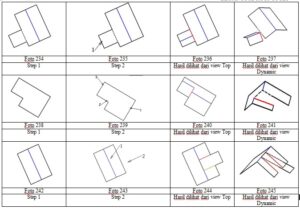
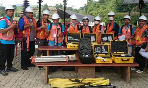
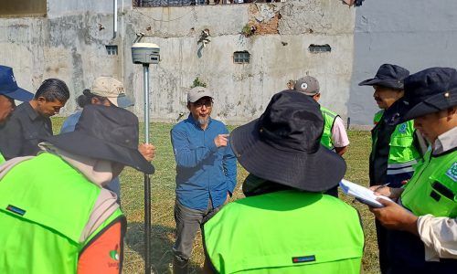
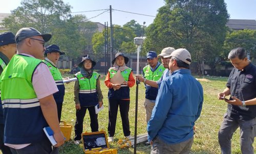
PT OMNI SPASIAL STRATEGIS (OSSMAP) has carried out mapping of the Jabodetabek, Surabaya, Kab. Badung, Bengkulu and cities in Indonesia use satellite imagery, aerial photography and LiDAR drones. Carrying out mapping of the northern part of Sumatra, the Aceh region after the 2004 tsunami. Making aerial photos, producing line maps and Orthophotos according to standards with a scale of 1:5000 and 1:10,000
TRAINING AND EDUCATION


CONTACT
PT OMNI SPASIAL STRATEGIS (OSSMAP)
Jl. Batununggal Indah V No. 38, Bandung - 40267 - West Java - Indonesia.
Telp. +62 22 875 02012
Email. info@ossmap.co.id
Copyright (C) 2024 by PT OMNI SPASIAL STRATEGIS